Visitors to this map
This map is created by Zhuohui Zhang zhuohui.zhang@gmail.com based on the information released by the Israeli Ministry of Health
The detailed location data will stop updating from 15:00 20 March 2020. There will be hundreds of new cases everyday and it is not affordable to parse and validate the geographical information for each patient anymore. I will only provide the municipalities which are main areas of activities for each new patient. Go to the old detailed page.
| When | Total Confirmed Cases |
|---|---|
| Tomorrow | |
| Day after Tomorrow | |
| In 3 days |
The colors in this heat map indicates the length of the exposure time. The information is obtained from the CSV export tool on the website of the CoronaMap by the Ministry of Health.
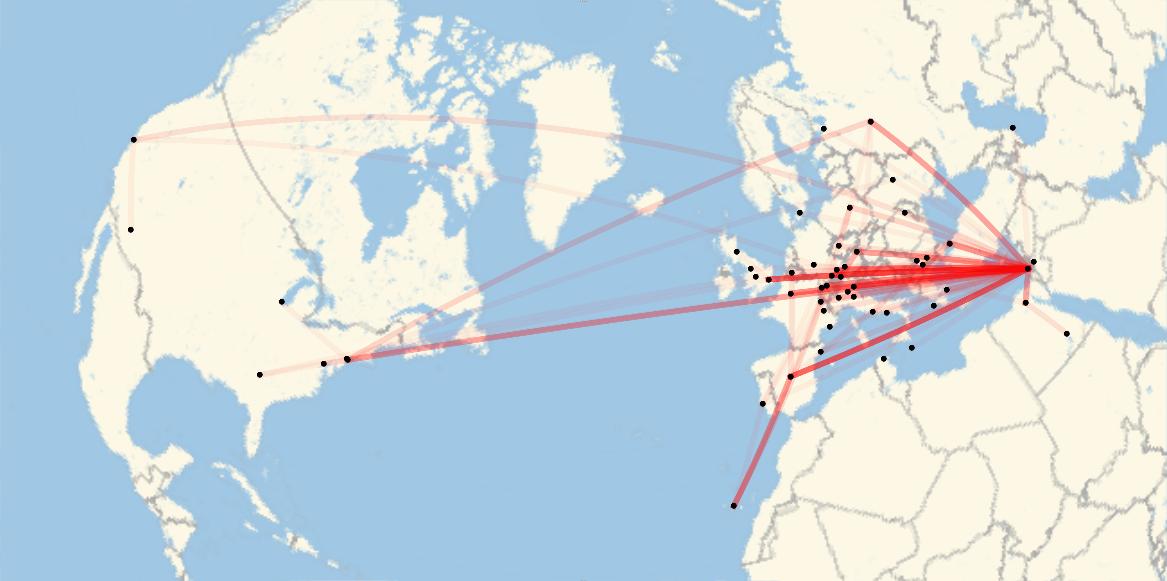
There were major changes on the formats of the announcement on the spokesperson messages/ since 20-Mar-2020. Old parsing methods no longer work. Major flight routes are displayed by geodesic lines. The higher the opacity, the more frequent this flight route carried COVID-19 to Israel.

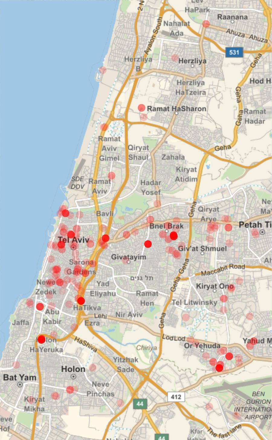
Towns with high risk of domestic spreading: Or Yehuda, Yehud, Neve-Monoson, Ganei Tikva, Shoham.
In Tel Aviv, avoid all shops along Ibn Gavirol, Ben Yehuda, Rothschild, Allenby and the beach. Stay in your house if you live around Tel Aviv University. Avoid all areas of Jaffa.

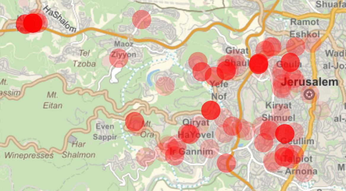
Communities with high risk of domestic spreading: Qiryat Yearim, Qiryat HaYovel, Qiryat Shmuel, Ir Ganim, Ein Kerem, Givat Shaul, 2km around Central Bus Station, 2km around Emek Refa'im, 2km around Yaffo Rd, 1km along Hebron Rd, Old City, Talpiyot.